The Hellings
Introduction
The photograph on this page of The Hellings by Derek Harper as part of the Geograph project.
The Geograph project started in 2005 with the aim of publishing, organising and preserving representative images for every square kilometre of Great Britain, Ireland and the Isle of Man.

There are currently over 7.5m images from over 14,400 individuals and you can help contribute to the project by visiting https://www.geograph.org.uk
The Hellings
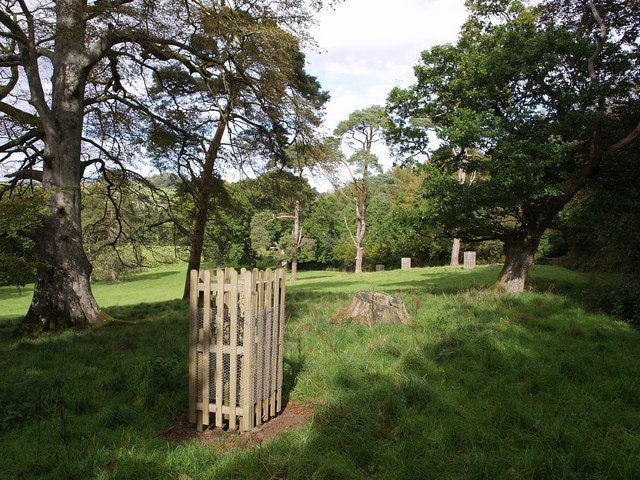
Image: © Derek Harper Taken: 26 Sep 2007
An assortment of parkland trees beside Huish Footpath 3. Image looks across to the west.
Images are licensed for reuse under creativecommons.org/licenses/by-sa/2.0
Image Location
Latitude
50.885645
Longitude
-4.082806