Bourna
Introduction
The photograph on this page of Bourna by Derek Harper as part of the Geograph project.
The Geograph project started in 2005 with the aim of publishing, organising and preserving representative images for every square kilometre of Great Britain, Ireland and the Isle of Man.

There are currently over 7.5m images from over 14,400 individuals and you can help contribute to the project by visiting https://www.geograph.org.uk
Bourna
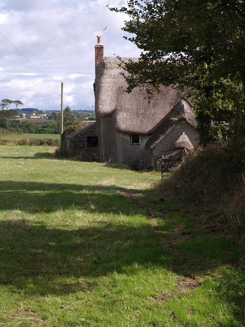
Image: © Derek Harper Taken: 26 Sep 2007
Another view of the farmhouse shown in Image The land behind slopes gently away towards the River Torridge. Seen from the Tarka Trail as it passes along the A386.
Images are licensed for reuse under creativecommons.org/licenses/by-sa/2.0
Image Location
Latitude
50.872135
Longitude
-4.073818