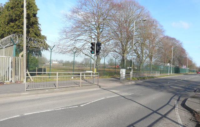
Site of Howe Barracks, Littlebourne Road
Introduction
The photograph on this page of Site of Howe Barracks, Littlebourne Road by John Baker as part of the Geograph project.
The Geograph project started in 2005 with the aim of publishing, organising and preserving representative images for every square kilometre of Great Britain, Ireland and the Isle of Man.
There are currently over 7.5m images from over 14,400 individuals and you can help contribute to the project by visiting https://www.geograph.org.uk

Image: © John Baker Taken: 18 Feb 2018
Planning permission has been granted by Canterbury City Council under application number CA//14/01230 for a hybrid planning application comprising: 1) application for outline planning permission for the demolition of all but three of the Barracks' buildings and the redevelopment of the site for up to 500 dwellings with new formal and informal public spaces and landscaping together with revised access from Littlebourne Road, new parking to Littlebourne Road and a road link connecting Littlebourne Road with Chaucer Road/Military Road. 2) application to change the use of the retained buildings (Gymnasium, Chapel and Small Arms Trainer) to community uses (Use Classes D1 and D2). The application is accompanied by an Environmental Statement submitted pursuant to the Town and Country Planning (Environmental Impact Assessment). The development is to be known as Royal Parade. This image of Image shows the former buildings.

