Pennar Road
Introduction
The photograph on this page of Pennar Road by M J Roscoe as part of the Geograph project.
The Geograph project started in 2005 with the aim of publishing, organising and preserving representative images for every square kilometre of Great Britain, Ireland and the Isle of Man.

There are currently over 7.5m images from over 14,400 individuals and you can help contribute to the project by visiting https://www.geograph.org.uk
Pennar Road
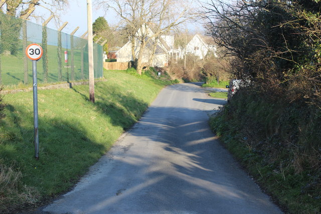
Image: © M J Roscoe Taken: 24 Feb 2018
This minor road carries part of the Wales Coastal Path; the wire fence marks the boundary of the Qinetiq site.
Images are licensed for reuse under creativecommons.org/licenses/by-sa/2.0
Image Location
Latitude
52.13467
Longitude
-4.557056