Pasture near Coed-y-wlad
Introduction
The photograph on this page of Pasture near Coed-y-wlad by Penny Mayes as part of the Geograph project.
The Geograph project started in 2005 with the aim of publishing, organising and preserving representative images for every square kilometre of Great Britain, Ireland and the Isle of Man.

There are currently over 7.5m images from over 14,400 individuals and you can help contribute to the project by visiting https://www.geograph.org.uk
Pasture near Coed-y-wlad
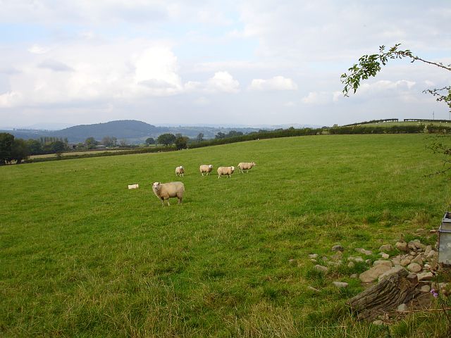
Image: © Penny Mayes Taken: 29 Sep 2007
With Lower Coed-y-wlad just visible in the left middle distance. The hill beyond is Gaer-fawr about 4 kilometres away in Image
Images are licensed for reuse under creativecommons.org/licenses/by-sa/2.0
Image Location


Leaflet Map data © OpenStreetMap
Latitude
52.675306
Longitude
-3.146917