Coast path, Dawlish
Introduction
The photograph on this page of Coast path, Dawlish by Derek Harper as part of the Geograph project.
The Geograph project started in 2005 with the aim of publishing, organising and preserving representative images for every square kilometre of Great Britain, Ireland and the Isle of Man.

There are currently over 7.5m images from over 14,400 individuals and you can help contribute to the project by visiting https://www.geograph.org.uk
Coast path, Dawlish
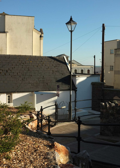
Image: © Derek Harper Taken: 25 Feb 2018
The inland version of the coast path descends towards the station, with flats on either side.
Images are licensed for reuse under creativecommons.org/licenses/by-sa/2.0
Image Location
Latitude
50.5809
Longitude
-3.465334