Unclassified lane and a gatepost
Introduction
The photograph on this page of Unclassified lane and a gatepost by John S Turner as part of the Geograph project.
The Geograph project started in 2005 with the aim of publishing, organising and preserving representative images for every square kilometre of Great Britain, Ireland and the Isle of Man.

There are currently over 7.5m images from over 14,400 individuals and you can help contribute to the project by visiting https://www.geograph.org.uk
Unclassified lane and a gatepost
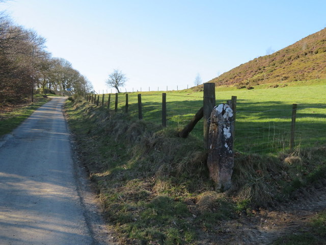
Image: © John S Turner Taken: 25 Feb 2018
This lane runs between Moel Llanfair to the north and Moel y Plas to the south. There is an Ordnance Survey bench mark on the east face of the stone gatepost on the right - Image
Images are licensed for reuse under creativecommons.org/licenses/by-sa/2.0
Image Location
Latitude
53.093466
Longitude
-3.241188