River Rom between Chesham Close and Brooklands Approach
Introduction
The photograph on this page of River Rom between Chesham Close and Brooklands Approach by Richard Winch as part of the Geograph project.
The Geograph project started in 2005 with the aim of publishing, organising and preserving representative images for every square kilometre of Great Britain, Ireland and the Isle of Man.

There are currently over 7.5m images from over 14,400 individuals and you can help contribute to the project by visiting https://www.geograph.org.uk
River Rom between Chesham Close and Brooklands Approach
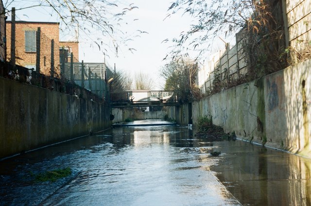
Image: © Richard Winch Taken: 17 Feb 2018
Public access to this part of the Rom is difficult, as most of it has been culverted. However, plans have recently been announced to open up parts of the river.
Images are licensed for reuse under creativecommons.org/licenses/by-sa/2.0
Image Location
Latitude
51.583134
Longitude
0.17369