Lynehill Bridge south of Penkridge in Staffordshire
Introduction
The photograph on this page of Lynehill Bridge south of Penkridge in Staffordshire by Roger D Kidd as part of the Geograph project.
The Geograph project started in 2005 with the aim of publishing, organising and preserving representative images for every square kilometre of Great Britain, Ireland and the Isle of Man.

There are currently over 7.5m images from over 14,400 individuals and you can help contribute to the project by visiting https://www.geograph.org.uk
Lynehill Bridge south of Penkridge in Staffordshire
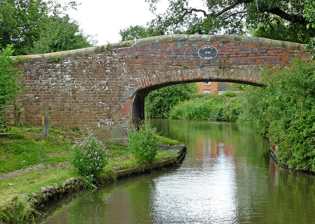
Image: © Roger D Kidd Taken: 15 Aug 2013
Lynehill Bridge is No 83 across the Staffordshire and Worcestershire Canal, south of Penkridge. Originally an accommodation bridge, it still carries a public footpath which crosses fields locally.
Images are licensed for reuse under creativecommons.org/licenses/by-sa/2.0
Image Location
Latitude
52.713441
Longitude
-2.107424