Flooded track west of the River Alyn/Afon Alun
Introduction
The photograph on this page of Flooded track west of the River Alyn/Afon Alun by John S Turner as part of the Geograph project.
The Geograph project started in 2005 with the aim of publishing, organising and preserving representative images for every square kilometre of Great Britain, Ireland and the Isle of Man.

There are currently over 7.5m images from over 14,400 individuals and you can help contribute to the project by visiting https://www.geograph.org.uk
Flooded track west of the River Alyn/Afon Alun
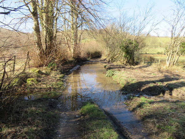
Image: © John S Turner Taken: 25 Feb 2018
This is the track west of the river ford although it looks somewhat similar. It was extremely muddy to walk through and I doubt if anything less than a tractor would have been able to negotiate it.
Images are licensed for reuse under creativecommons.org/licenses/by-sa/2.0
Image Location
Latitude
53.108115
Longitude
-3.215468