Enclosed settlement above Rattenraw Burn
Introduction
The photograph on this page of Enclosed settlement above Rattenraw Burn by Andrew Curtis as part of the Geograph project.
The Geograph project started in 2005 with the aim of publishing, organising and preserving representative images for every square kilometre of Great Britain, Ireland and the Isle of Man.

There are currently over 7.5m images from over 14,400 individuals and you can help contribute to the project by visiting https://www.geograph.org.uk
Enclosed settlement above Rattenraw Burn
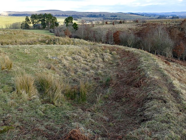
Image: © Andrew Curtis Taken: 25 Feb 2018
A Roman-period farmstead lies above the Rattenraw Burn. It comprises a sub-rectangular enclosure containing two sunken yards and the foundations of three round houses. Overall, the farmstead measures 40m by 30m but outside it are four further round houses and an irregular-shaped enclosure. Archaeologist think that this shows the settlement grew larger and expanded outside its original bounds. Keys to the Past: http://www.keystothepast.info/article/10339/Site-Details?PRN=N8096 Scheduled Monument List Entry Number: 1008994 https://www.historicengland.org.uk/listing/the-list/list-entry/1008994
Images are licensed for reuse under creativecommons.org/licenses/by-sa/2.0
Image Location


Leaflet Map data © OpenStreetMap
Latitude
55.249843
Longitude
-2.242058