Elvedene Close
Introduction
The photograph on this page of Elvedene Close by James Emmans as part of the Geograph project.
The Geograph project started in 2005 with the aim of publishing, organising and preserving representative images for every square kilometre of Great Britain, Ireland and the Isle of Man.

There are currently over 7.5m images from over 14,400 individuals and you can help contribute to the project by visiting https://www.geograph.org.uk
Elvedene Close
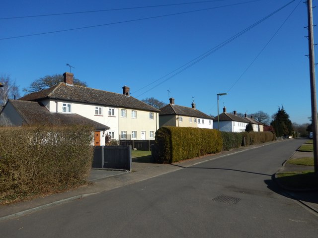
Image: © James Emmans Taken: 25 Feb 2018
Post war council houses built on Elveden Place land in Pyrford Green.
Images are licensed for reuse under creativecommons.org/licenses/by-sa/2.0
Image Location
Latitude
51.317689
Longitude
-0.49858