Walls?s Hawth
Introduction
The photograph on this page of Walls?s Hawth by Chris Thomas-Atkin as part of the Geograph project.
The Geograph project started in 2005 with the aim of publishing, organising and preserving representative images for every square kilometre of Great Britain, Ireland and the Isle of Man.

There are currently over 7.5m images from over 14,400 individuals and you can help contribute to the project by visiting https://www.geograph.org.uk
Walls?s Hawth
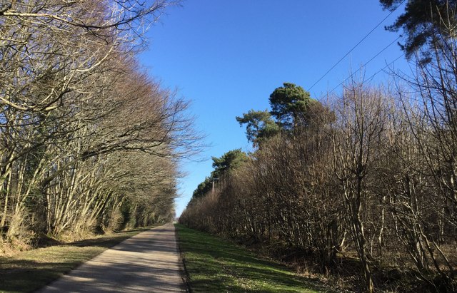
Image: © Chris Thomas-Atkin Taken: 25 Feb 2018
Pine trees had been planted at regular intervals along the edge of Walls’s Hawth.
Images are licensed for reuse under creativecommons.org/licenses/by-sa/2.0
Image Location
Latitude
50.908913
Longitude
0.12961