Junction of Upper St John Street and Chapel Lane, Lichfield
Introduction
The photograph on this page of Junction of Upper St John Street and Chapel Lane, Lichfield by Jaggery as part of the Geograph project.
The Geograph project started in 2005 with the aim of publishing, organising and preserving representative images for every square kilometre of Great Britain, Ireland and the Isle of Man.

There are currently over 7.5m images from over 14,400 individuals and you can help contribute to the project by visiting https://www.geograph.org.uk
Junction of Upper St John Street and Chapel Lane, Lichfield
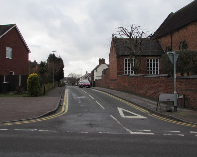
Image: © Jaggery Taken: 17 Feb 2018
Along Chapel Lane from Upper St John Street. Holy Cross church https://www.geograph.org.uk/photo/5691572 is on the right.
Images are licensed for reuse under creativecommons.org/licenses/by-sa/2.0
Image Location
Latitude
52.676683
Longitude
-1.824694