Pennine Bridleway, Uppermill
Introduction
The photograph on this page of Pennine Bridleway, Uppermill by michael ely as part of the Geograph project.
The Geograph project started in 2005 with the aim of publishing, organising and preserving representative images for every square kilometre of Great Britain, Ireland and the Isle of Man.

There are currently over 7.5m images from over 14,400 individuals and you can help contribute to the project by visiting https://www.geograph.org.uk
Pennine Bridleway, Uppermill
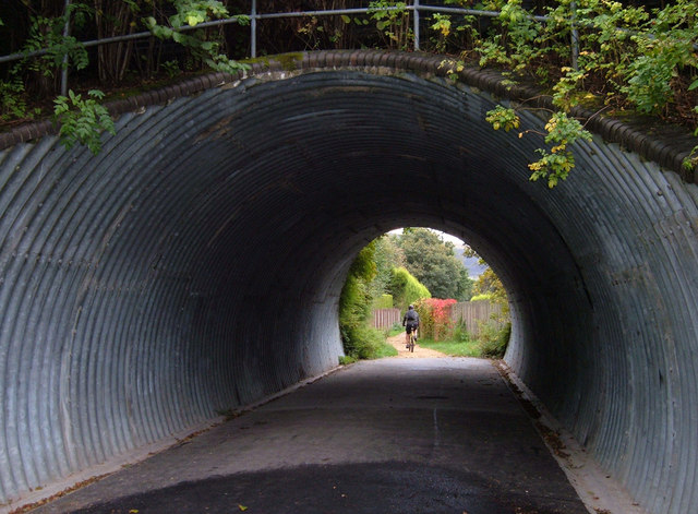
Image: © michael ely Taken: 27 Sep 2007
The National Trail bypasses the village of Uppermill (using the trackbed of a disused railway) so to visit its attractions one has to make a detour. Here the route passes through a tunnel under Rush Hill Road.
Images are licensed for reuse under creativecommons.org/licenses/by-sa/2.0
Image Location
Latitude
53.543981
Longitude
-2.003583