Northern edge of the Lily Ponds
Introduction
The photograph on this page of Northern edge of the Lily Ponds by Pauline E as part of the Geograph project.
The Geograph project started in 2005 with the aim of publishing, organising and preserving representative images for every square kilometre of Great Britain, Ireland and the Isle of Man.

There are currently over 7.5m images from over 14,400 individuals and you can help contribute to the project by visiting https://www.geograph.org.uk
Northern edge of the Lily Ponds
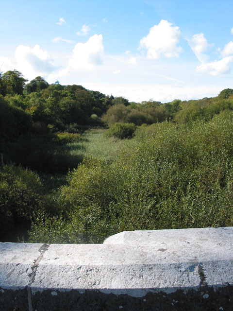
Image: © Pauline E Taken: 26 Sep 2007
Taken from the bridge towards Sampson. The pond at this point is obscured by vegetation.
Images are licensed for reuse under creativecommons.org/licenses/by-sa/2.0
Image Location


Leaflet Map data © OpenStreetMap
Latitude
51.629332
Longitude
-4.927367