Kingsland Fire Station
Introduction
The photograph on this page of Kingsland Fire Station by Fabian Musto as part of the Geograph project.
The Geograph project started in 2005 with the aim of publishing, organising and preserving representative images for every square kilometre of Great Britain, Ireland and the Isle of Man.

There are currently over 7.5m images from over 14,400 individuals and you can help contribute to the project by visiting https://www.geograph.org.uk
Kingsland Fire Station
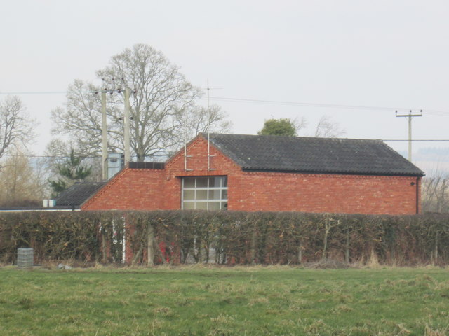
Image: © Fabian Musto Taken: 24 Feb 2018
Here is the back side of Kingsland Fire Station, viewed from a public footpath leading onto the A4110 road.
Images are licensed for reuse under creativecommons.org/licenses/by-sa/2.0
Image Location
Latitude
52.2465
Longitude
-2.818419