St Andrew's Road, Shoeburyness
Introduction
The photograph on this page of St Andrew's Road, Shoeburyness by David Kemp as part of the Geograph project.
The Geograph project started in 2005 with the aim of publishing, organising and preserving representative images for every square kilometre of Great Britain, Ireland and the Isle of Man.

There are currently over 7.5m images from over 14,400 individuals and you can help contribute to the project by visiting https://www.geograph.org.uk
St Andrew's Road, Shoeburyness
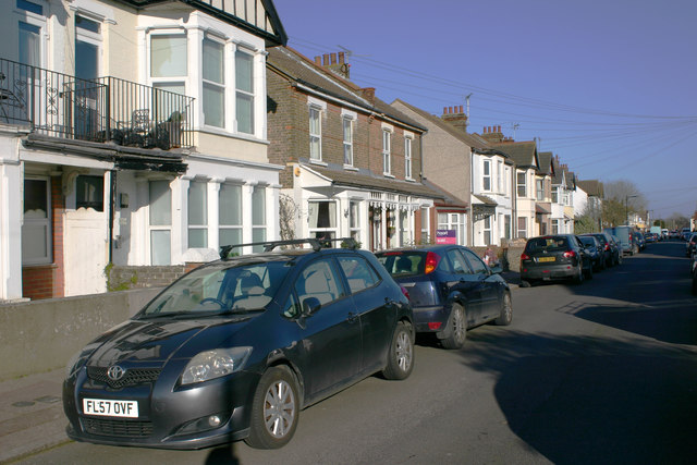
Image: © David Kemp Taken: 22 Feb 2018
Oddly, the nearby St Andrew's church is in Church Road which runs parallel to St Andrew's Road. The reason may be that St Andrew's Road was at the time of its construction the nearest made-up road to the church whereas Church Road is of much more modern construction. See Geograph Image
Images are licensed for reuse under creativecommons.org/licenses/by-sa/2.0
Image Location
Latitude
51.529455
Longitude
0.77815