Kingsland Castle (Kingsland)
Introduction
The photograph on this page of Kingsland Castle (Kingsland) by Fabian Musto as part of the Geograph project.
The Geograph project started in 2005 with the aim of publishing, organising and preserving representative images for every square kilometre of Great Britain, Ireland and the Isle of Man.

There are currently over 7.5m images from over 14,400 individuals and you can help contribute to the project by visiting https://www.geograph.org.uk
Kingsland Castle (Kingsland)
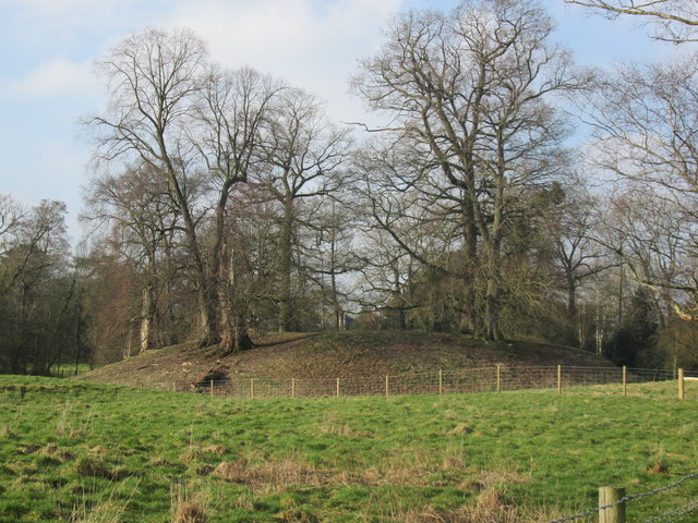
Image: © Fabian Musto Taken: 24 Feb 2018
Here is the earthwork remains of Kingsland Castle. Viewed from the public footpath leading from the church to the fire station. There used to be a stone keep on the site when it was in ruins in 1539, according to John Leland.
Images are licensed for reuse under creativecommons.org/licenses/by-sa/2.0
Image Location
Latitude
52.246617
Longitude
-2.814466