Poor Hurn
Introduction
The photograph on this page of Poor Hurn by Neil Owen as part of the Geograph project.
The Geograph project started in 2005 with the aim of publishing, organising and preserving representative images for every square kilometre of Great Britain, Ireland and the Isle of Man.

There are currently over 7.5m images from over 14,400 individuals and you can help contribute to the project by visiting https://www.geograph.org.uk
Poor Hurn
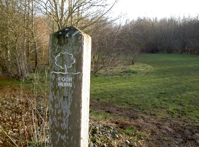
Image: © Neil Owen Taken: 23 Feb 2018
This field, next to Hurn, is named after the original pastures of old. The area was bought in the 1990s and planted progressively with native woodland species.
Images are licensed for reuse under creativecommons.org/licenses/by-sa/2.0
Image Location
Latitude
51.403473
Longitude
-2.480104