Hallamshire House, Commonside, Sheffield
Introduction
The photograph on this page of Hallamshire House, Commonside, Sheffield by David Hallam-Jones as part of the Geograph project.
The Geograph project started in 2005 with the aim of publishing, organising and preserving representative images for every square kilometre of Great Britain, Ireland and the Isle of Man.

There are currently over 7.5m images from over 14,400 individuals and you can help contribute to the project by visiting https://www.geograph.org.uk
Hallamshire House, Commonside, Sheffield
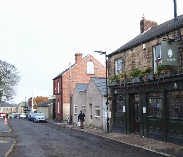
Image: © David Hallam-Jones Taken: 19 Feb 2018
The junction of the lower end of Commonside with Barber Road can be glimpsed in the distance. Herded animals, on their way to the former cattle market near to the former Victoria Railway Station, may well have been 'rested' in this area i.e. Common-side. (See: https://www.sheffieldhistory.co.uk/forums/topic/16673-baaa/). "The Closed Shop" - a gastropub - is situated behind the photographer at the junction with Hands Lane.
Images are licensed for reuse under creativecommons.org/licenses/by-sa/2.0
Image Location
Latitude
53.385985
Longitude
-1.497345