Kestrel Drive houses, Sutton Coldfield
Introduction
The photograph on this page of Kestrel Drive houses, Sutton Coldfield by Jaggery as part of the Geograph project.
The Geograph project started in 2005 with the aim of publishing, organising and preserving representative images for every square kilometre of Great Britain, Ireland and the Isle of Man.

There are currently over 7.5m images from over 14,400 individuals and you can help contribute to the project by visiting https://www.geograph.org.uk
Kestrel Drive houses, Sutton Coldfield
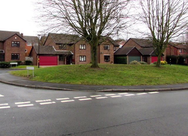
Image: © Jaggery Taken: 17 Feb 2018
Viewed across Hill Hook Road near the Bishops Way junction.
Images are licensed for reuse under creativecommons.org/licenses/by-sa/2.0
Image Location
Latitude
52.600384
Longitude
-1.841682