Gosling Bridge
Introduction
The photograph on this page of Gosling Bridge by Rose and Trev Clough as part of the Geograph project.
The Geograph project started in 2005 with the aim of publishing, organising and preserving representative images for every square kilometre of Great Britain, Ireland and the Isle of Man.

There are currently over 7.5m images from over 14,400 individuals and you can help contribute to the project by visiting https://www.geograph.org.uk
Gosling Bridge
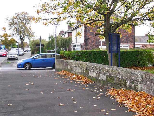
Image: © Rose and Trev Clough Taken: 18 Oct 2017
On Scotland Road, near the junction with Waverley Road. There's no sign of any water, but the stone wall is an old bridge parapet. Looking closely, its name can be seen in an inscription Image . The bridge crosses Gosling Sike, a small stream which starts at Houghton and joins the River Eden near Etterby Terrace https://www.geograph.org.uk/photo/5174219 . It is culverted from Scotland Road to the outfall, flowing beneath the grounds of St Augustine's Church on the right of the parapet.
Images are licensed for reuse under creativecommons.org/licenses/by-sa/2.0
Image Location
Latitude
54.911987
Longitude
-2.939925