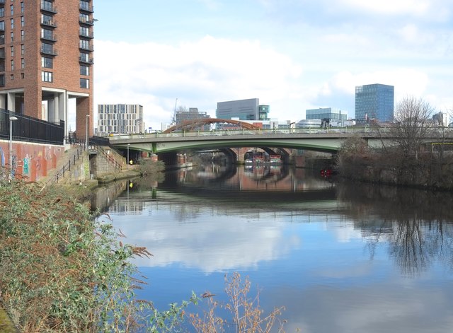
Underneath the Arches
Introduction
The photograph on this page of Underneath the Arches by Anthony O'Neil as part of the Geograph project.
The Geograph project started in 2005 with the aim of publishing, organising and preserving representative images for every square kilometre of Great Britain, Ireland and the Isle of Man.
There are currently over 7.5m images from over 14,400 individuals and you can help contribute to the project by visiting https://www.geograph.org.uk

Image: © Anthony O'Neil Taken: 21 Feb 2018
A variety of road and rail bridges cross the River Irwell here, joining the twin cities of Salford and Manchester across the boundary. A short distance downstream (behind the photographer) the Irwell becomes the Ship Canal, the makers of the Canal having taken advantage of, and widened, the course of the river in the 19th century. Ocean-going liners were enabled to berth in the nearby Pomona Docks carrying passengers all over the world.

