Bridleway to Redhill Lane
Introduction
The photograph on this page of Bridleway to Redhill Lane by Jonathan Thacker as part of the Geograph project.
The Geograph project started in 2005 with the aim of publishing, organising and preserving representative images for every square kilometre of Great Britain, Ireland and the Isle of Man.

There are currently over 7.5m images from over 14,400 individuals and you can help contribute to the project by visiting https://www.geograph.org.uk
Bridleway to Redhill Lane
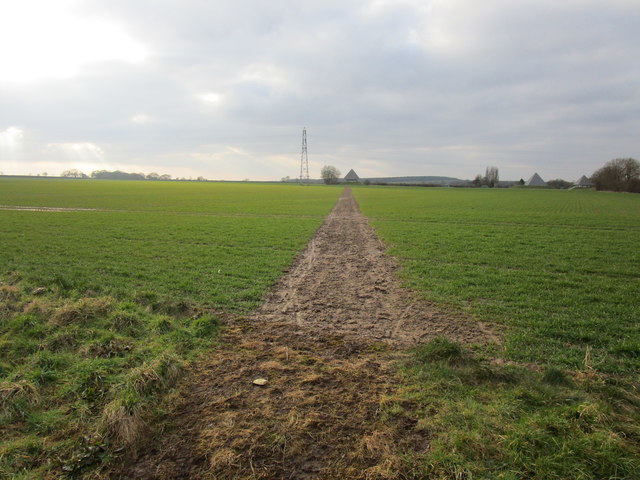
Image: © Jonathan Thacker Taken: 23 Feb 2018
The farmer has kept the route clear though has used a short cut. The official route meanders off to the right which is not particularly useful for the user and especially not for the farmer.
Images are licensed for reuse under creativecommons.org/licenses/by-sa/2.0
Image Location
Latitude
53.174531
Longitude
-0.983808