West Road, Shoeburyness
Introduction
The photograph on this page of West Road, Shoeburyness by David Kemp as part of the Geograph project.
The Geograph project started in 2005 with the aim of publishing, organising and preserving representative images for every square kilometre of Great Britain, Ireland and the Isle of Man.

There are currently over 7.5m images from over 14,400 individuals and you can help contribute to the project by visiting https://www.geograph.org.uk
West Road, Shoeburyness
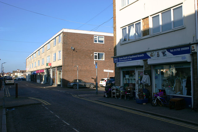
Image: © David Kemp Taken: 22 Feb 2018
Not so long ago West Road was a thriving shopping street. But with the closure of the Shoebury Garrison in 1976 and the opening the Asda superstore ten minutes' walk away five years later, West Road went into decline. Many of the former retail premises are now occupied by charity shops, fast food outlets or closed altogether. The optimistically and inaccurately named Seaview Road can be seen on the right.
Images are licensed for reuse under creativecommons.org/licenses/by-sa/2.0
Image Location
Latitude
51.530122
Longitude
0.780354