Aylesbeare, Shoeburyness
Introduction
The photograph on this page of Aylesbeare, Shoeburyness by David Kemp as part of the Geograph project.
The Geograph project started in 2005 with the aim of publishing, organising and preserving representative images for every square kilometre of Great Britain, Ireland and the Isle of Man.

There are currently over 7.5m images from over 14,400 individuals and you can help contribute to the project by visiting https://www.geograph.org.uk
Aylesbeare, Shoeburyness
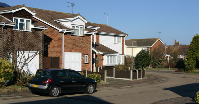
Image: © David Kemp Taken: 22 Feb 2018
Aylesbeare is a long thoroughfare that winds through the populous development that lies between Bishopsteignton and North Shoebury Road. The road on the right is Rackenford.
Images are licensed for reuse under creativecommons.org/licenses/by-sa/2.0
Image Location
Latitude
51.536547
Longitude
0.778727