Mickleham bypass (A24)
Introduction
The photograph on this page of Mickleham bypass (A24) by Andrew Longton as part of the Geograph project.
The Geograph project started in 2005 with the aim of publishing, organising and preserving representative images for every square kilometre of Great Britain, Ireland and the Isle of Man.

There are currently over 7.5m images from over 14,400 individuals and you can help contribute to the project by visiting https://www.geograph.org.uk
Mickleham bypass (A24)
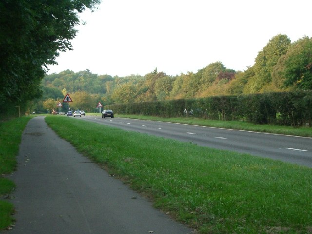
Image: © Andrew Longton Taken: 20 Sep 2005
Looking north. The central reservation on this stretch is a tall hedge.
Images are licensed for reuse under creativecommons.org/licenses/by-sa/2.0
Image Location
Latitude
51.266937
Longitude
-0.330085