East end of Northmoor
Introduction
The photograph on this page of East end of Northmoor by Chris Brown as part of the Geograph project.
The Geograph project started in 2005 with the aim of publishing, organising and preserving representative images for every square kilometre of Great Britain, Ireland and the Isle of Man.

There are currently over 7.5m images from over 14,400 individuals and you can help contribute to the project by visiting https://www.geograph.org.uk
East end of Northmoor
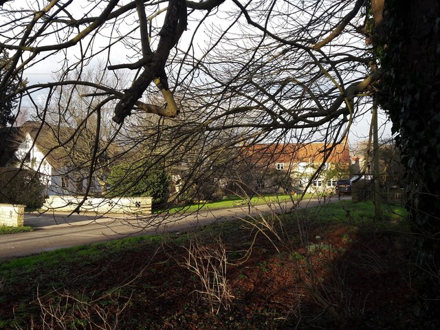
Image: © Chris Brown Taken: 1 Feb 2018
The path along the south side of the road passes behind the row of tall trees.
Images are licensed for reuse under creativecommons.org/licenses/by-sa/2.0
Image Location
Latitude
51.724401
Longitude
-1.38886