Castle House, Newcastle-under-Lyme (2)
Introduction
The photograph on this page of Castle House, Newcastle-under-Lyme (2) by Jonathan Hutchins as part of the Geograph project.
The Geograph project started in 2005 with the aim of publishing, organising and preserving representative images for every square kilometre of Great Britain, Ireland and the Isle of Man.

There are currently over 7.5m images from over 14,400 individuals and you can help contribute to the project by visiting https://www.geograph.org.uk
Castle House, Newcastle-under-Lyme (2)
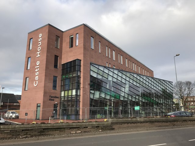
Image: © Jonathan Hutchins Taken: 21 Feb 2018
The site formerly occupied by the long-closed St Giles' and St George's School (see http://www.geograph.org.uk/photo/4339689 ) is now home to a new 'public sector hub' which will house Newcastle Borough Council (currently in the Civic Offices on Merrial Street http://www.geograph.org.uk/photo/4339895 ), the local offices of Staffordshire County Council, Newcastle Police, Aspire Housing, and some functions of the Registry Office http://www.geograph.org.uk/photo/5128290 A year previously, Image is taken from further down Barracks Road.
Images are licensed for reuse under creativecommons.org/licenses/by-sa/2.0
Image Location
Latitude
53.011814
Longitude
-2.224718