The Mill Fields development
Introduction
The photograph on this page of The Mill Fields development by Lairich Rig as part of the Geograph project.
The Geograph project started in 2005 with the aim of publishing, organising and preserving representative images for every square kilometre of Great Britain, Ireland and the Isle of Man.

There are currently over 7.5m images from over 14,400 individuals and you can help contribute to the project by visiting https://www.geograph.org.uk
The Mill Fields development
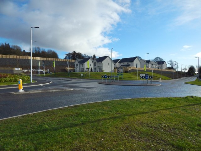
Image: © Lairich Rig Taken: 11 Feb 2018
This is the southern part of the site; the nearest building is the show home. For the northern part, see Image Click on the end-note title for related pictures.
Images are licensed for reuse under creativecommons.org/licenses/by-sa/2.0
Image Location
Latitude
55.971939
Longitude
-4.56555