St Christopher's Way looking towards church, Jaywick Sands
Introduction
The photograph on this page of St Christopher's Way looking towards church, Jaywick Sands by Duncan Graham as part of the Geograph project.
The Geograph project started in 2005 with the aim of publishing, organising and preserving representative images for every square kilometre of Great Britain, Ireland and the Isle of Man.

There are currently over 7.5m images from over 14,400 individuals and you can help contribute to the project by visiting https://www.geograph.org.uk
St Christopher's Way looking towards church, Jaywick Sands
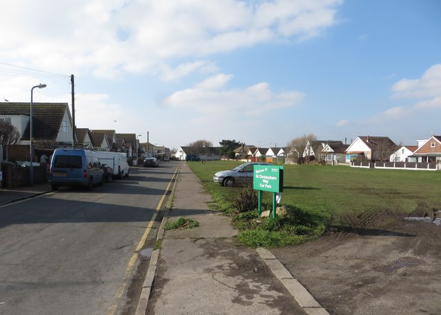
Image: © Duncan Graham Taken: 22 Feb 2018
The picture shows St Christopher's Way, a residential street in Jaywick Sands, looking towards St Christopher's Church (Anglican). The church is in the extreme south-east corner of grid square TM1413. St Christopher's Way car park is to the right of the photograph.
Images are licensed for reuse under creativecommons.org/licenses/by-sa/2.0
Image Location
Latitude
51.774451
Longitude
1.114886