Boleyn Way, looking south over farmland
Introduction
The photograph on this page of Boleyn Way, looking south over farmland by Duncan Graham as part of the Geograph project.
The Geograph project started in 2005 with the aim of publishing, organising and preserving representative images for every square kilometre of Great Britain, Ireland and the Isle of Man.

There are currently over 7.5m images from over 14,400 individuals and you can help contribute to the project by visiting https://www.geograph.org.uk
Boleyn Way, looking south over farmland
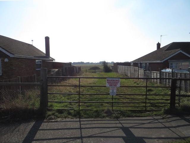
Image: © Duncan Graham Taken: 22 Feb 2018
This photograph was taken from the end of Boleyn Way, a residential street in the Tudor Estate, looking south over farmland used for pasture within the last six years. Note the sign drawing attention to adders nearby. On the horizon can be seen housing in the area of Gorse Way and Meadow Way, Jaywick Sands. Photograph taken at a 180-degree angle from Image
Images are licensed for reuse under creativecommons.org/licenses/by-sa/2.0
Image Location
Latitude
51.777725
Longitude
1.113517