Fir Way, Jaywick Sands
Introduction
The photograph on this page of Fir Way, Jaywick Sands by Duncan Graham as part of the Geograph project.
The Geograph project started in 2005 with the aim of publishing, organising and preserving representative images for every square kilometre of Great Britain, Ireland and the Isle of Man.

There are currently over 7.5m images from over 14,400 individuals and you can help contribute to the project by visiting https://www.geograph.org.uk
Fir Way, Jaywick Sands
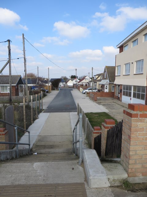
Image: © Duncan Graham Taken: 22 Feb 2018
A residential street. Photograph taken from sea wall. As can be seen, Jaywick is low-lying, making it prone to flooding. Taken at a 180-degree angle from Image, a moment later.
Images are licensed for reuse under creativecommons.org/licenses/by-sa/2.0
Image Location
Latitude
51.773534
Longitude
1.115548