High Park Hill
Introduction
The photograph on this page of High Park Hill by Trevor Rickard as part of the Geograph project.
The Geograph project started in 2005 with the aim of publishing, organising and preserving representative images for every square kilometre of Great Britain, Ireland and the Isle of Man.

There are currently over 7.5m images from over 14,400 individuals and you can help contribute to the project by visiting https://www.geograph.org.uk
High Park Hill
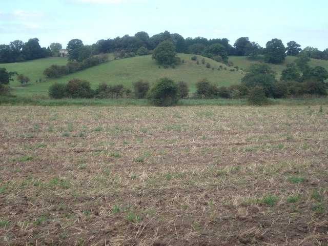
Image: © Trevor Rickard Taken: 7 Sep 2007
From the footpath, looking across harrowed stubble to High Park house, which is just visible to the left of the trees. The Droitwich Barge Canal runs along the far edge of this field.
Images are licensed for reuse under creativecommons.org/licenses/by-sa/2.0
Image Location
Latitude
52.261242
Longitude
-2.183979