St Cuthbert's Parish Kirk
Introduction
The photograph on this page of St Cuthbert's Parish Kirk by Anne Burgess as part of the Geograph project.
The Geograph project started in 2005 with the aim of publishing, organising and preserving representative images for every square kilometre of Great Britain, Ireland and the Isle of Man.

There are currently over 7.5m images from over 14,400 individuals and you can help contribute to the project by visiting https://www.geograph.org.uk
St Cuthbert's Parish Kirk
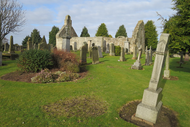
Image: © Anne Burgess Taken: 21 Feb 2018
The 16th century kirk, with 17th century bellcote, has been disused since the union of East Calder with Kirknewton in 1750.
Images are licensed for reuse under creativecommons.org/licenses/by-sa/2.0
Image Location
Latitude
55.894585
Longitude
-3.465992