Brewers Arms, Neston
Introduction
The photograph on this page of Brewers Arms, Neston by Jaggery as part of the Geograph project.
The Geograph project started in 2005 with the aim of publishing, organising and preserving representative images for every square kilometre of Great Britain, Ireland and the Isle of Man.

There are currently over 7.5m images from over 14,400 individuals and you can help contribute to the project by visiting https://www.geograph.org.uk
Brewers Arms, Neston
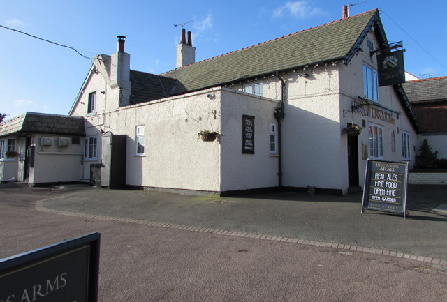
Image: © Jaggery Taken: 15 Feb 2018
Pub at 1 Park Street. The year 1670 is on the wall near the name sign. https://www.geograph.org.uk/photo/5686631
Images are licensed for reuse under creativecommons.org/licenses/by-sa/2.0
Image Location
Latitude
53.29105
Longitude
-3.065082