Farm access road leaving High Lane
Introduction
The photograph on this page of Farm access road leaving High Lane by Trevor Littlewood as part of the Geograph project.
The Geograph project started in 2005 with the aim of publishing, organising and preserving representative images for every square kilometre of Great Britain, Ireland and the Isle of Man.

There are currently over 7.5m images from over 14,400 individuals and you can help contribute to the project by visiting https://www.geograph.org.uk
Farm access road leaving High Lane
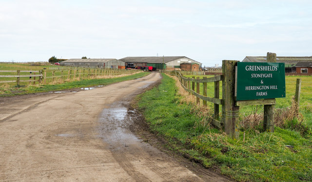
Image: © Trevor Littlewood Taken: 20 Feb 2018
As the notice tells it's the way to Stonegate and Herrington Hill Farms.
Images are licensed for reuse under creativecommons.org/licenses/by-sa/2.0
Image Location
Latitude
54.858238
Longitude
-1.455226