Chester 1996 boundary stone near Oak Tree Farm, Wood Lane
Introduction
The photograph on this page of Chester 1996 boundary stone near Oak Tree Farm, Wood Lane by John S Turner as part of the Geograph project.
The Geograph project started in 2005 with the aim of publishing, organising and preserving representative images for every square kilometre of Great Britain, Ireland and the Isle of Man.

There are currently over 7.5m images from over 14,400 individuals and you can help contribute to the project by visiting https://www.geograph.org.uk
Chester 1996 boundary stone near Oak Tree Farm, Wood Lane
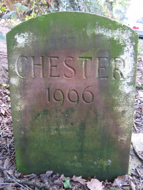
Image: © John S Turner Taken: 6 Feb 2007
This fairly modern Chester 1996 boundary stone is on the grass verge on the south side of Wood Lane, opposite Oak Tree Farm. See also Image
Images are licensed for reuse under creativecommons.org/licenses/by-sa/2.0
Image Location
Latitude
53.179687
Longitude
-2.699016