Richmond Close leading to Woodlodge Close
Introduction
The photograph on this page of Richmond Close leading to Woodlodge Close by J W Parker as part of the Geograph project.
The Geograph project started in 2005 with the aim of publishing, organising and preserving representative images for every square kilometre of Great Britain, Ireland and the Isle of Man.

There are currently over 7.5m images from over 14,400 individuals and you can help contribute to the project by visiting https://www.geograph.org.uk
Richmond Close leading to Woodlodge Close
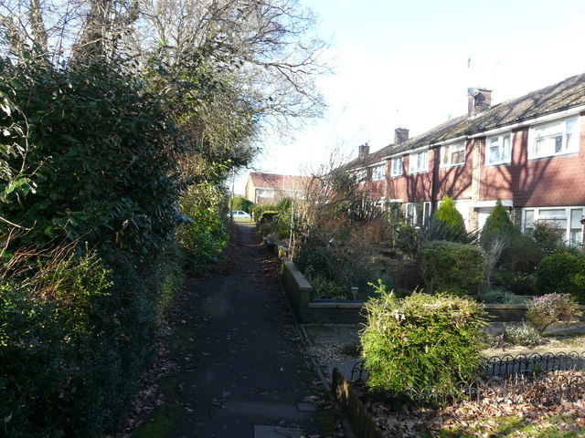
Image: © J W Parker Taken: 2 Feb 2018
Richmond Close which runs alongside the boundary of the old Woodlodge house known as the big house in the 1930s in Calmore. Now the grounds are Woodlodge Close.
Images are licensed for reuse under creativecommons.org/licenses/by-sa/2.0
Image Location
Latitude
50.9277
Longitude
-1.51845