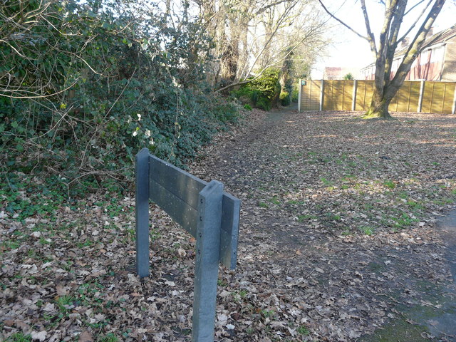
Footpath to Woodlodge Close
Introduction
The photograph on this page of Footpath to Woodlodge Close by J W Parker as part of the Geograph project.
The Geograph project started in 2005 with the aim of publishing, organising and preserving representative images for every square kilometre of Great Britain, Ireland and the Isle of Man.
There are currently over 7.5m images from over 14,400 individuals and you can help contribute to the project by visiting https://www.geograph.org.uk

Image: © J W Parker Taken: 2 Feb 2018
This footpath to Woodlodge Close used to be the boundary of the old Woodlodge house. It had an orchard, a small putting area, a tennis court and a little woodland in the 1930s. If the gate was left open the new forest ponies would come into the grounds and eat all the shrubs; encouraging them out was quite a task for the Parker boys.

