Chepstow Conservative Club
Introduction
The photograph on this page of Chepstow Conservative Club by Jaggery as part of the Geograph project.
The Geograph project started in 2005 with the aim of publishing, organising and preserving representative images for every square kilometre of Great Britain, Ireland and the Isle of Man.

There are currently over 7.5m images from over 14,400 individuals and you can help contribute to the project by visiting https://www.geograph.org.uk
Chepstow Conservative Club
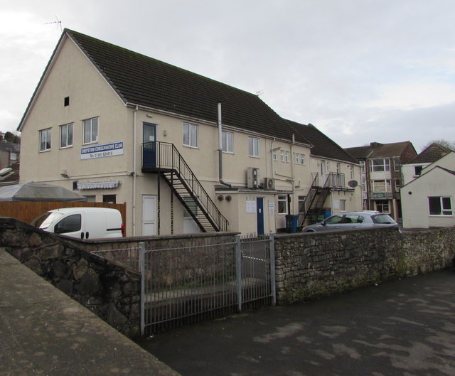
Image: © Jaggery Taken: 19 Feb 2018
The A48 Mount Pleasant side of the club at 10 Moor Street. https://www.geograph.org.uk/photo/5685718 to the opposite end of the club.
Images are licensed for reuse under creativecommons.org/licenses/by-sa/2.0
Image Location
Latitude
51.640145
Longitude
-2.677541