Recreation ground, Clacton
Introduction
The photograph on this page of Recreation ground, Clacton by Duncan Graham as part of the Geograph project.
The Geograph project started in 2005 with the aim of publishing, organising and preserving representative images for every square kilometre of Great Britain, Ireland and the Isle of Man.

There are currently over 7.5m images from over 14,400 individuals and you can help contribute to the project by visiting https://www.geograph.org.uk
Recreation ground, Clacton
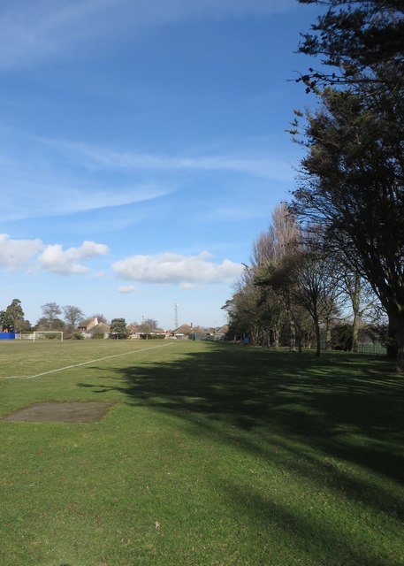
Image: © Duncan Graham Taken: 16 Feb 2018
A view of the south-eastern part of the public recreation ground, taken from the far south-eastern corner looking roughly north-east. The metal fence to the right in the foreground and immediately behind when I took the photograph marks the boundary of Clacton County High School grounds. In the distance are houses on Wyndham Crescent and a telecommunications mast on Valleybridge Road. See Image taken at the same time.
Images are licensed for reuse under creativecommons.org/licenses/by-sa/2.0
Image Location
Latitude
51.798881
Longitude
1.163281