Footbridge, Oxford Road, Clacton (close up)
Introduction
The photograph on this page of Footbridge, Oxford Road, Clacton (close up) by Duncan Graham as part of the Geograph project.
The Geograph project started in 2005 with the aim of publishing, organising and preserving representative images for every square kilometre of Great Britain, Ireland and the Isle of Man.

There are currently over 7.5m images from over 14,400 individuals and you can help contribute to the project by visiting https://www.geograph.org.uk
Footbridge, Oxford Road, Clacton (close up)
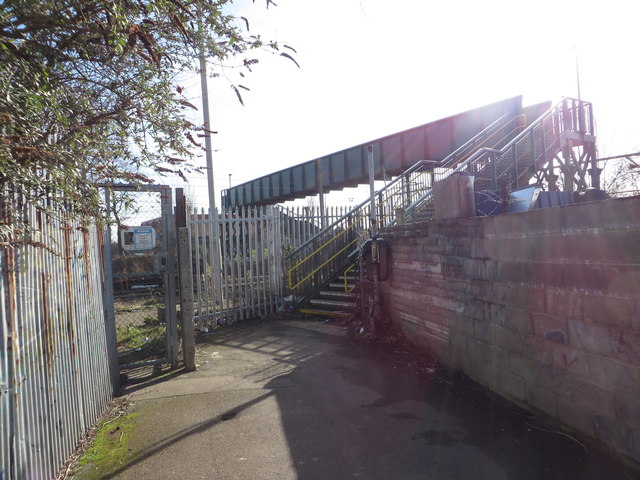
Image: © Duncan Graham Taken: 16 Feb 2018
This is a close-up of the footbridge over the railway line on Oxford Road, Clacton, the entrance to which is shown from the opposite pavement in Image Beyond the railway line are Clacton Leisure Centre, its grounds and the neighbouring recreation ground. The footbridge is indicated on Ordnance Survey maps by the abbreviation FB.
Images are licensed for reuse under creativecommons.org/licenses/by-sa/2.0
Image Location
Latitude
51.798876
Longitude
1.158436