New dwellings
Introduction
The photograph on this page of New dwellings by Alan Walker as part of the Geograph project.
The Geograph project started in 2005 with the aim of publishing, organising and preserving representative images for every square kilometre of Great Britain, Ireland and the Isle of Man.

There are currently over 7.5m images from over 14,400 individuals and you can help contribute to the project by visiting https://www.geograph.org.uk
New dwellings
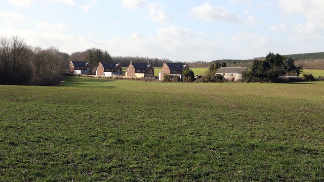
Image: © Alan Walker Taken: 15 Feb 2018
This view of new dwellings (and one much older) on Image was taken just a few metres west of a bridge that carries Image over the Teversal Trail. An OS map surveyed in 1875 and published in 1877 http://maps.nls.uk/view/137933983 shows a dwelling on the site of the older property in the photograph. This map also records Peartree Lane as then being known as Marker Lane.
Images are licensed for reuse under creativecommons.org/licenses/by-sa/2.0
Image Location
Latitude
53.157119
Longitude
-1.284371