The Teversal Trail
Introduction
The photograph on this page of The Teversal Trail by Alan Walker as part of the Geograph project.
The Geograph project started in 2005 with the aim of publishing, organising and preserving representative images for every square kilometre of Great Britain, Ireland and the Isle of Man.

There are currently over 7.5m images from over 14,400 individuals and you can help contribute to the project by visiting https://www.geograph.org.uk
The Teversal Trail
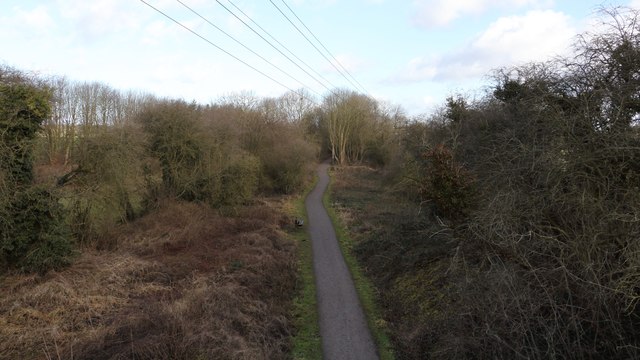
Image: © Alan Walker Taken: 15 Feb 2018
This northerly facing photograph is of the Teversal Trail and was taken from a bridge that carries Image over the trail. For a photograph of the power lines taken from the trail below, click here:- Image See also this photograph by Andrew Hill:- Image
Images are licensed for reuse under creativecommons.org/licenses/by-sa/2.0
Image Location
Latitude
53.154785
Longitude
-1.284858