B15 (Clare Road) Causeway Coastal Route
Introduction
The photograph on this page of B15 (Clare Road) Causeway Coastal Route by David Dixon as part of the Geograph project.
The Geograph project started in 2005 with the aim of publishing, organising and preserving representative images for every square kilometre of Great Britain, Ireland and the Isle of Man.

There are currently over 7.5m images from over 14,400 individuals and you can help contribute to the project by visiting https://www.geograph.org.uk
B15 (Clare Road) Causeway Coastal Route
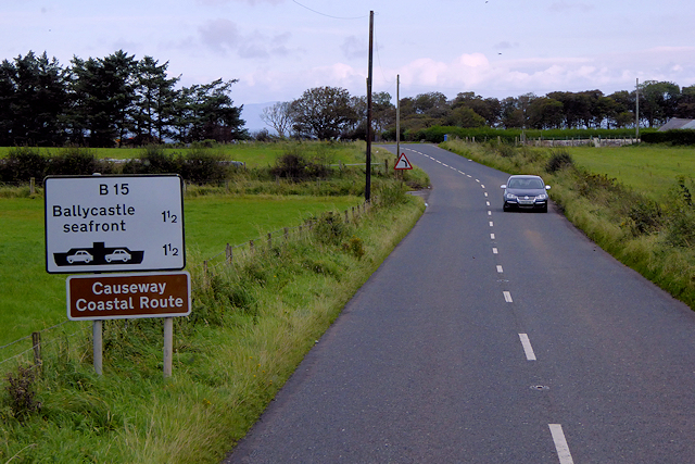
Image: © David Dixon Taken: 28 Sep 2017
The Causeway Coastal Route is a designated way-marked driving route around the coast of Northern Ireland between the cities of Belfast and Londonderry. The route is approximately 120 miles in length and merges with the ' Wild Atlantic Way at Derry.
Images are licensed for reuse under creativecommons.org/licenses/by-sa/2.0
Image Location
Latitude
55.209333
Longitude
-6.268724