St Mark's churchyard, eastern entrance
Introduction
The photograph on this page of St Mark's churchyard, eastern entrance by Stephen Craven as part of the Geograph project.
The Geograph project started in 2005 with the aim of publishing, organising and preserving representative images for every square kilometre of Great Britain, Ireland and the Isle of Man.

There are currently over 7.5m images from over 14,400 individuals and you can help contribute to the project by visiting https://www.geograph.org.uk
St Mark's churchyard, eastern entrance
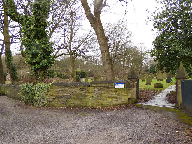
Image: © Stephen Craven Taken: 10 Feb 2018
The rear entrance to the churchyard, which is still open for burials although the former church within it has been converted to housing.
Images are licensed for reuse under creativecommons.org/licenses/by-sa/2.0
Image Location
Latitude
53.751206
Longitude
-1.769001