Houses at Ham Green
Introduction
The photograph on this page of Houses at Ham Green by Nigel Mykura as part of the Geograph project.
The Geograph project started in 2005 with the aim of publishing, organising and preserving representative images for every square kilometre of Great Britain, Ireland and the Isle of Man.

There are currently over 7.5m images from over 14,400 individuals and you can help contribute to the project by visiting https://www.geograph.org.uk
Houses at Ham Green
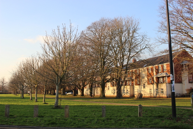
Image: © Nigel Mykura Taken: 20 Jan 2017
These houses are just off Macrae Street next to a park which sits on top of the Pill tunnel of the Portishead branch railway line. This is looking west along the line of the tunnel which runs parallel to the line of trees on the left of the image.
Images are licensed for reuse under creativecommons.org/licenses/by-sa/2.0
Image Location
Latitude
51.477312
Longitude
-2.676996