Railway east of Dorking West Station
Introduction
The photograph on this page of Railway east of Dorking West Station by Stephen McKay as part of the Geograph project.
The Geograph project started in 2005 with the aim of publishing, organising and preserving representative images for every square kilometre of Great Britain, Ireland and the Isle of Man.

There are currently over 7.5m images from over 14,400 individuals and you can help contribute to the project by visiting https://www.geograph.org.uk
Railway east of Dorking West Station
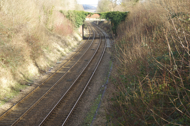
Image: © Stephen McKay Taken: 15 Feb 2018
Looking down from the Ranmore Road bridge towards the Chalkpit Lane bridge. This line runs from Guildford to Redhill through the Surrey hills and is one of the few parts of the former British Rail Southern Region network never to have been electrified with the third rail system.
Images are licensed for reuse under creativecommons.org/licenses/by-sa/2.0
Image Location
Latitude
51.236549
Longitude
-0.336916